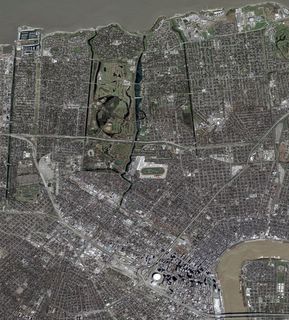
Those of you who may be curious about NOBTS: Scroll across the top of the pic (which is the edge of Lake Pontchartrain) until you see the UNO campus all the way to the right side of the pic. Find the UNO Lakefront Arena (right) and Save-a-lot grocery store (left) and follow that road (Franklin Ave.) down until you get to a major intersection (Gentilly Blvd.) The seminary is to the right and runs alongside the railroad tracks. It's easier to find it on the before pic, and then look on the after pic.

before

No comments:
Post a Comment